Teaching kids Pakistani geography at home in the US
Teach Pakistani geography at home in the US with maps, provinces, rivers, and family place-names that build geographic sense without turning the kitchen into a nationalism lecture.

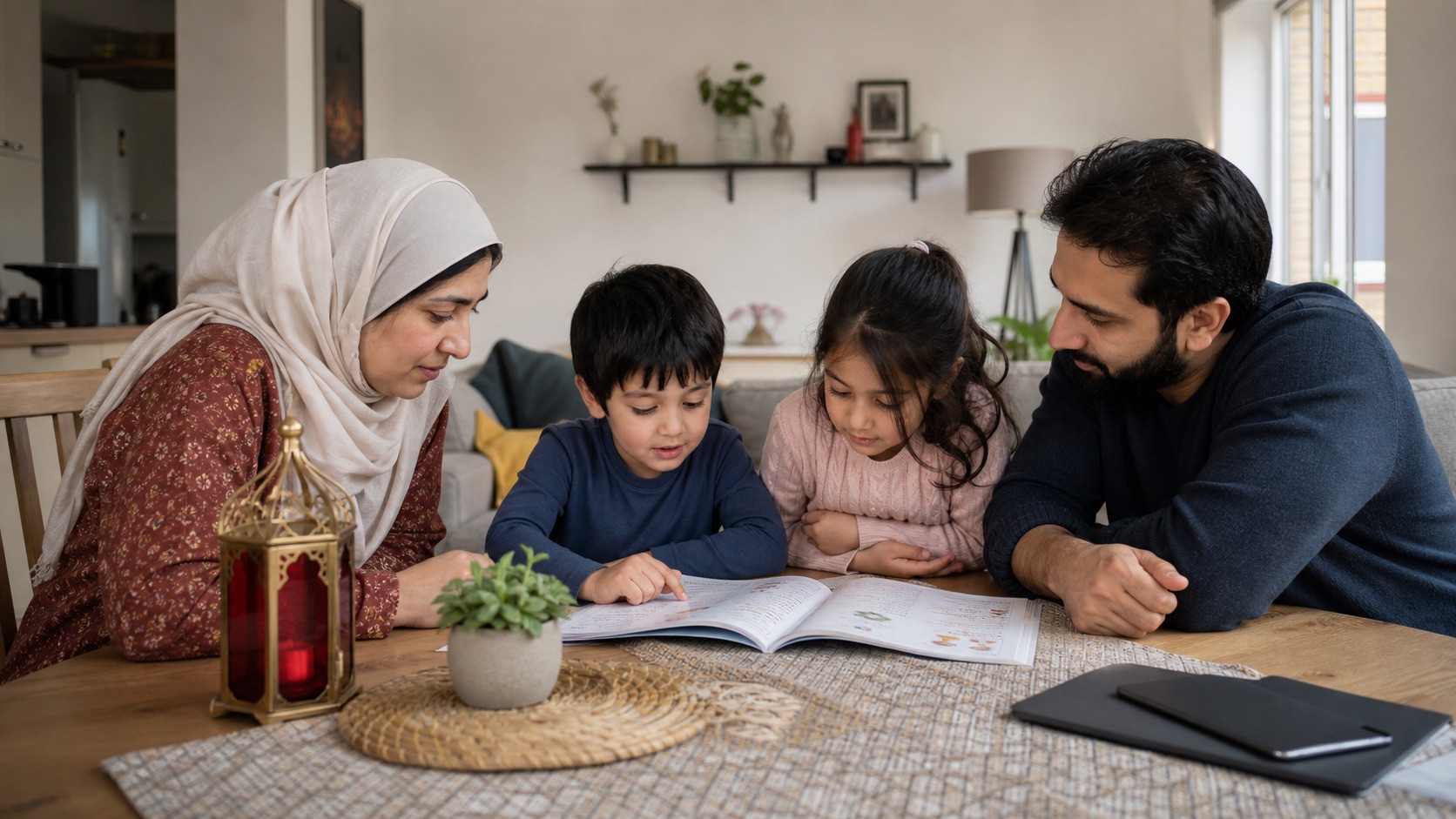
A child in a US classroom can point to Texas and still shrug when someone asks where Nana’s village sits. Pakistani geography taught as a loyalty test usually ends in glazed eyes. Taught as a map of rivers, mountains, cities, and family stories, it becomes a tool the child can actually use. This is a home learning essay for diaspora kitchens and living-room floors. It is not a civics sermon and not a substitute for a school curriculum.
Commission yourself one outcome for a month: the child should recognise Pakistan’s outline, name the main administrative pieces at a level that matches their age, and place at least one family location on the map without panic. That is enough. Pride can arrive later, if it arrives at all, as a side effect of knowing where things are.
Put a real map on the wall before the lecture
Print or buy a current political map you can touch. For official administrative products and province sheets, families can browse what the Survey of Pakistan publishes and sells. For a compact English overview of administrative divisions, the US government’s CIA World Factbook Pakistan entry lists four provinces (Balochistan, Khyber Pakhtunkhwa, Punjab, Sindh), the Islamabad Capital Territory, and the Pakistan-administered areas of Azad Kashmir and Gilgit-Baltistan. Read labels together. Let the child trace the Indus with a finger. Ask which way is north without turning it into a quiz show.
Keep sessions short. Ten minutes of map play after homework beats a Sunday “history of the nation” monologue. Younger children can colour provinces. Older ones can compare province size to a US state they already know, with the explicit caveat that area is not the same as culture or importance.
Rivers and cities before slogans
The Indus is often the first geographic story that sticks because it is concrete: water, farms, cities along a spine. Point to where the river runs south through the plains and how Karachi sits near the coast rather than in the middle of the country. Add Lahore as a major Punjab city many diaspora children already hear named. Add Islamabad as the planned capital on the map’s north-central patch. Add Peshawar, Quetta, or Multan only when a family story or a photo album makes them real.
Mountains matter too, but start with a single image: northern highlands, long distances in Balochistan, a coastline the child has never seen. You do not need a full physical-geography course. You need enough terrain language that “up north” and “by the sea” mean something when relatives talk.
Provinces as places people live, not team jerseys
Introduce each major unit through something concrete: a city, a landscape, a food, a relative. Punjab might be Lahore’s old city and wheat fields in a grandparent story. Sindh might be Karachi’s coast and the lower Indus. Khyber Pakhtunkhwa might be mountain roads and Peshawar’s bazaars in a photo album. Balochistan might be long distances and a coastline. Gilgit-Baltistan and Azad Kashmir belong on the map as labelled regions with high mountains and specific family meanings if your household has them, without forcing a geopolitical lecture onto a nine-year-old.
When adults disagree about borders or politics, park the argument. The child’s job is to read the map you are using and to notice that maps are made by people and can show different emphases. That single meta-lesson (maps are tools, not sacred objects) matters more than winning a WhatsApp debate in front of them.
Diaspora pins without the nationalism script
Link geography to the child’s actual life. Where did Ammi’s first school stand? Which airport do you fly into? Which city appears on the spice tin or the cricket jersey in the laundry basket? Plot those pins. If the family is mixed (Pakistani and something else), plot both. Belonging that requires erasing a US hometown is brittle. Belonging that can hold two maps is sturdier.
- One pin a week: add a city or river the child can explain in a sentence.
- One comparison: “This drive in Punjab is roughly like our drive to…” Approximate, then check a real map distance together.
- One sensory detail: heat, monsoon talk, mountain cold, or sea air from a relative’s story, clearly labelled as someone’s memory, not a universal rule.
- One bilingual label: write the place name in English and in the script your household uses, even if the child only sounds out a few letters.
Skip the stock phrases that turn geography into a loyalty test: no compulsory anthems at the kitchen table, no shaming a child for not knowing a district name their cousin memorised, no claiming that loving a US park makes them less “from” anywhere. Curiosity is the metric. When the child asks why the Indus matters, answer with water and farms. When they ask why relatives argue about a line on the map, say that adults disagree about history and law, and that learning the place-names still helps them follow the conversation later.
Use age bands, not one speech for everyone
Ages four to six can learn the outline, the word Pakistan, and one family pin. Ages seven to ten can add provinces and two or three cities. Ages eleven and up can handle distance comparisons, a simple physical map layer, and the idea that administered areas appear with specific labels. Pushing a teenager’s WhatsApp argument onto a kindergartener is how map time dies.
If siblings share the wall map, give each child a different coloured pin set so the older one is not graded for “knowing more.” Geography at home works best as parallel tracks, not a ranking of cousins.
When school units collide with home stories
US social-studies units may mention South Asia briefly or not at all. When a classroom project appears, help the child bring accurate place-names and a calm map rather than a speech. Teachers usually welcome a labelled outline and a family story framed as personal geography. They do not need a parent to litigate politics at pickup.
Make distance feel real without a flight
Children understand maps better when distance becomes a comparison they can feel. Measure a familiar US drive, then look up an approximate road distance between two Pakistani cities on a reputable map tool together. Say out loud that traffic, mountains, and border formalities are not the same as your suburban commute. The point is scale, not precision to the kilometre.
Weather stories help too. A relative’s monsoon memory or Quetta cold snap belongs on a sticky note next to the pin, labelled as that person’s experience. Avoid teaching climate as a single national personality.
Stop when the outline is familiar
Photos, stamps, and cricket maps
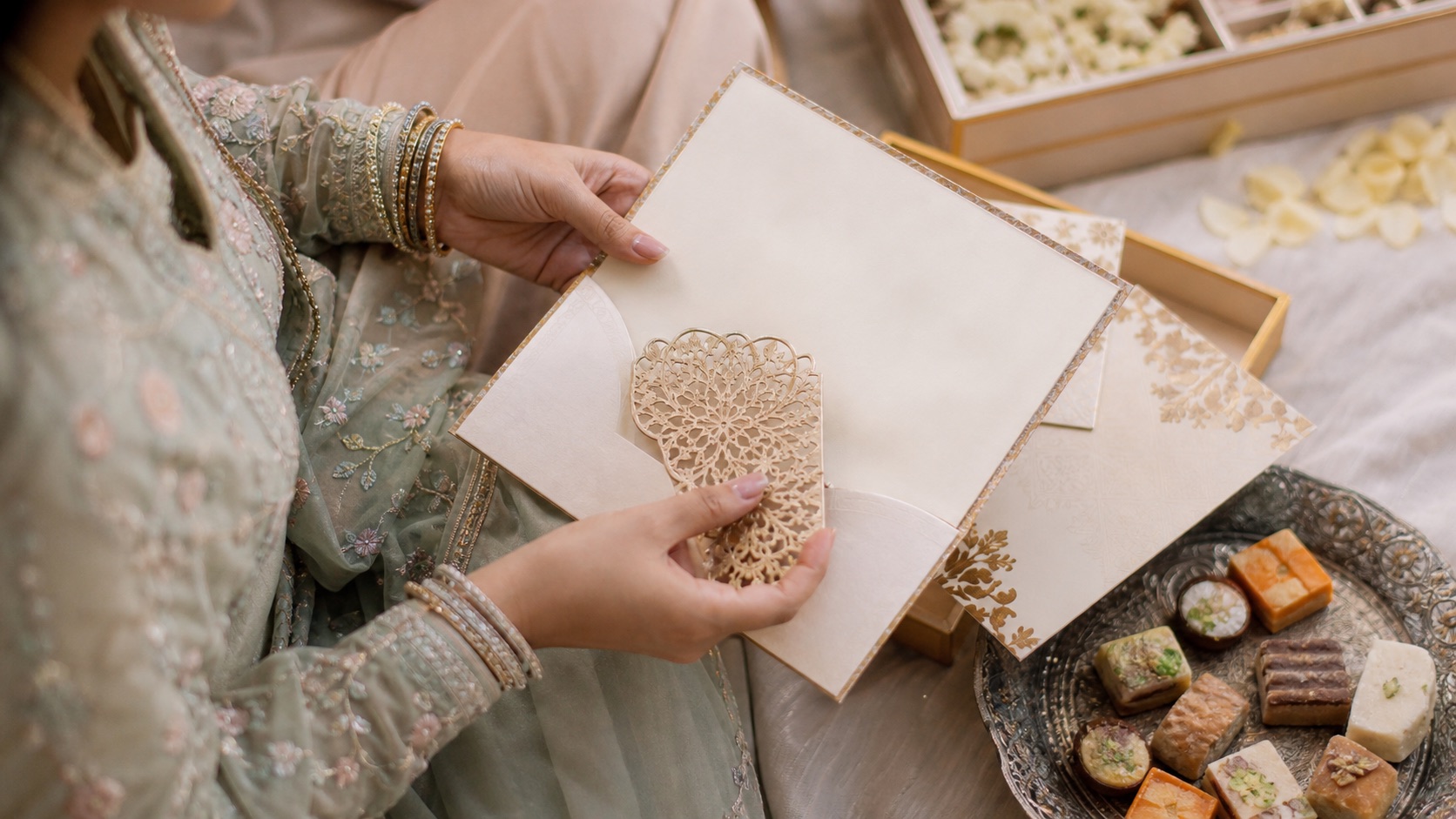
Old passport stamps, wedding invitation envelopes, and cricket jersey cities are geography props. Lay them on the table next to the wall map and let the child match text to pins. A jersey that says Lahore or Karachi becomes a lesson when the child can point to the city without being told the answer first.
If you travel to Pakistan, keep a short “map journal” of airports and overnight cities rather than a scrapbook speech. After the trip, add those pins. Geography learned through movement sticks longer than geography learned through scolding.
Stop when the outline is familiar and the family pins make sense. A child who can find Karachi, Lahore, and Nana’s town on a quiet Tuesday already has more geography than most adults pretend they taught.
Keep adult arguments off the map wall
Diaspora living rooms often host competing stories about history, borders, and belonging. Children hear the tone even when they miss the details. Agree among adults that map time is for place-names, rivers, and family pins. Political debates can happen after bedtime. If a relative insists on turning colouring into a lecture, move the session to another day rather than letting the wall become a battlefield.
When the child asks a hard question you cannot answer cleanly, say you will look it up together using a named source such as the map you are using or a Factbook overview, then follow through. Honesty about uncertainty teaches better geography than invented certainty.
Old passport stamps, wedding invitation envelopes, and cricket jersey cities are useful props. Lay them beside the wall map and let the child match text to pins. After a trip to Pakistan, add airport and overnight-city pins from a short map journal rather than a scrapbook speech.
Sources and official profiles
Was this helpful?
Keep reading
Related stories
More from this desk, this beat, and the tags on this piece.

Readers
The conversation
0 notes
Anyone can leave a note. Guests add a name and email — no account required, and the email is never published.
No notes yet. Yours would be the first.